
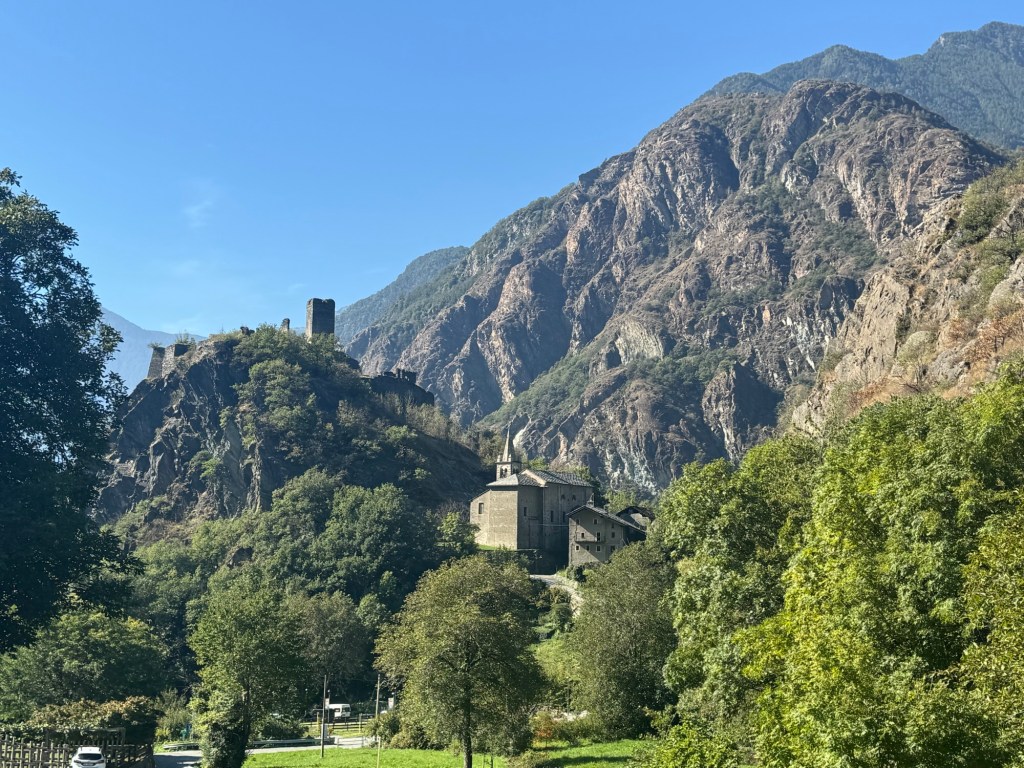
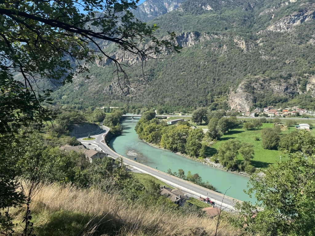
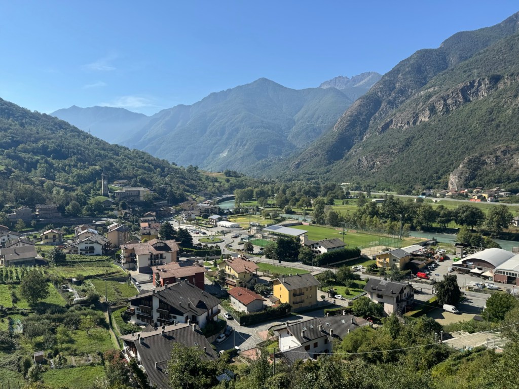
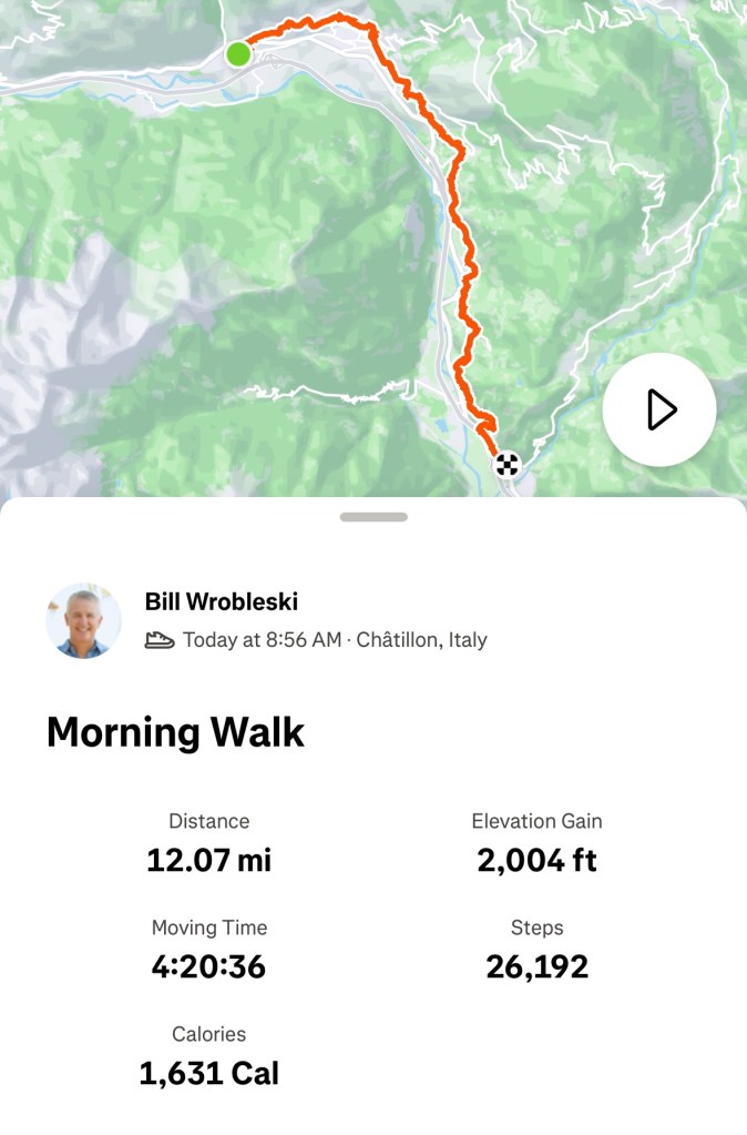
A tougher day today, but as Scott said “we’re hitting our stride.”
Usually we have a mapping app to help us stay on trail. For some unknown reason (probably me screwing up), we couldn’t use the app today. We had to rely solely on trail signage.
Which begs the question…
Q: How good are the signs on this trail?
Signage in Spain and France is generally excellent. It’s really hard to get lost on the main pilgrimage routes in those countries.
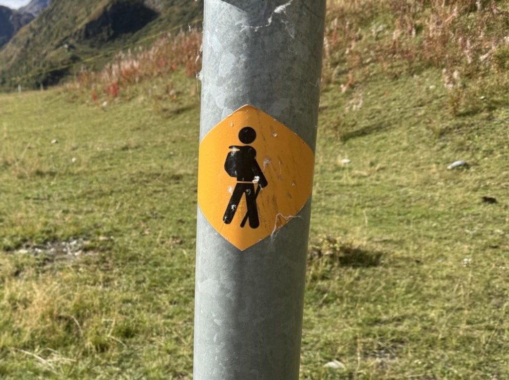
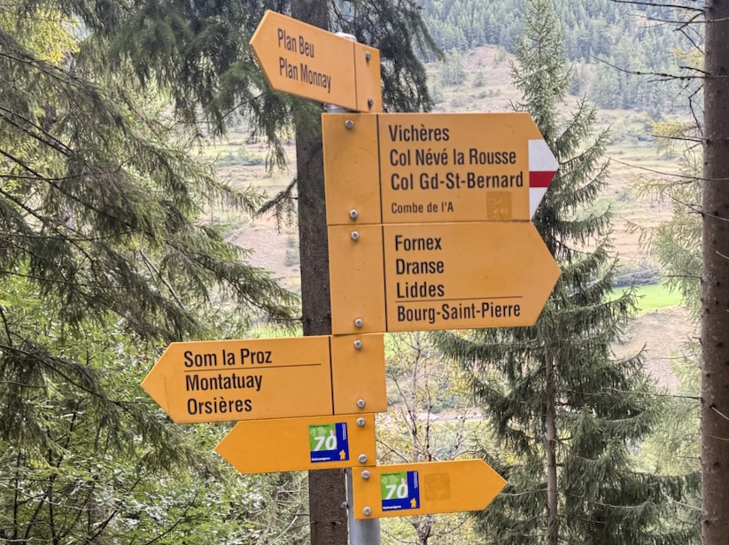
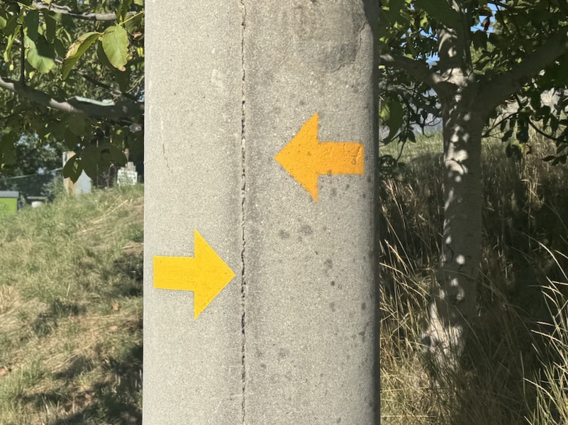
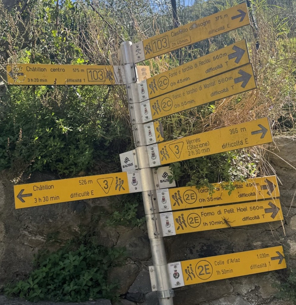
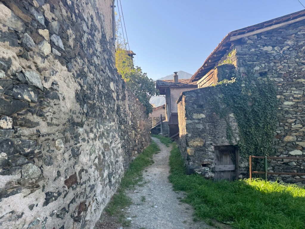
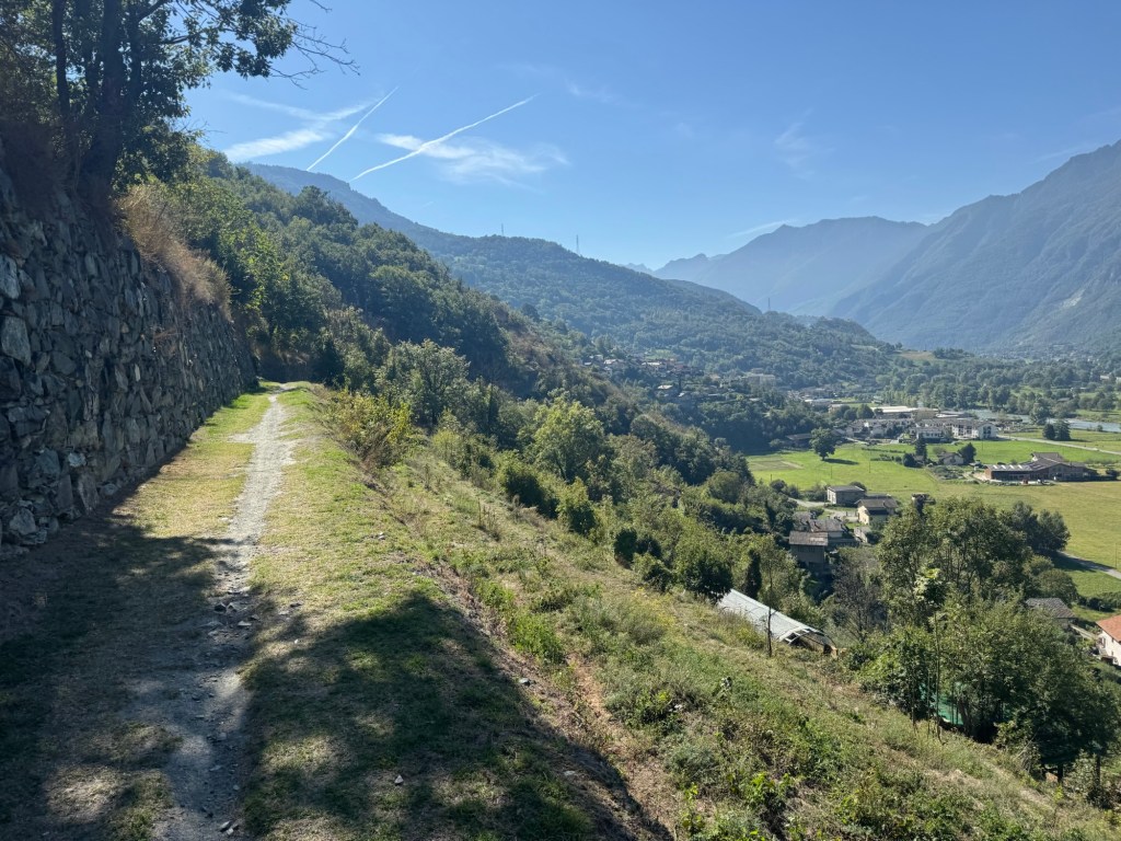
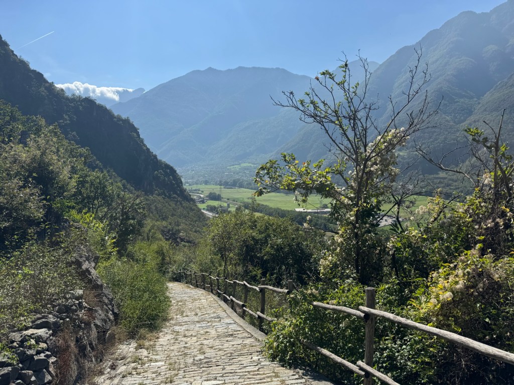
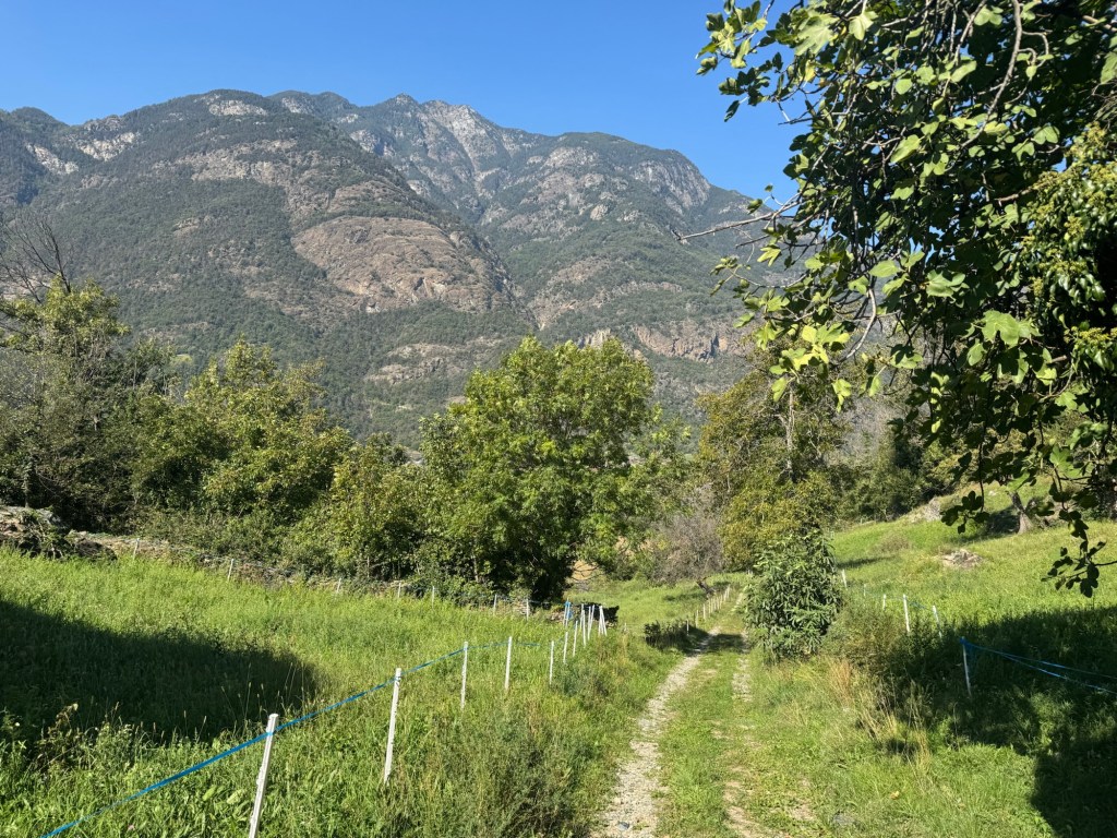
Signage in Switzerland and Italy is good, but not great. There are a lot of helpful signs, but some turns are not marked clearly. Plus there are so many intersecting trails, that it gets confusing.
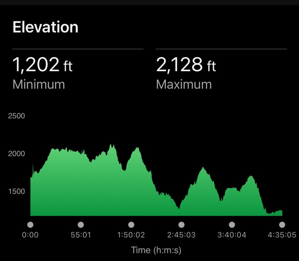
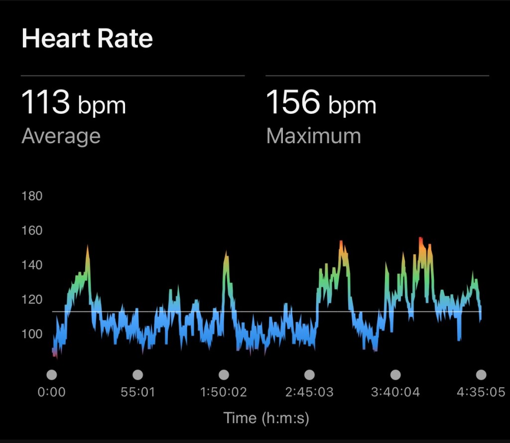
Today’s Data
Starting Temp: 59
Finishing Temp: 77

Signs in Italy: An organized chaos (lol).
Really enjoying your pictures and comments as you guys traverse through this beautiful landscape.
Looks like a gorgeous trail Bill! The cobblestone downhill looked tough.
It’s really beautiful. Looking forward to Tuscany with kids. It should be just ss nice. Miss you guys!
Could you ever imagine living in any of these towns or are they just for passing through?
Funny you should say that. We discussed it, and the slightly larger ones like Aosta (pop -33k) are very livable. The villages are beautiful but just too small for me.
What, no cows?
I have missed following you for the past three weeks due to family matters, and I am really enjoying catching up–and getting more and more inspired to do this in retirement. Thank you again for sharing your journey!